I like to travel.
I also don’t like to surprise people when I am on a trip and want them to know where I am and how long it might take me to get to them for a visit. So back in 2008 I wrote a simple program to access my Pocket PC’s GPS capabilities and upload the information to a database where people could access my most recently uploaded location and display it on a google map along with an image of the nearest traffic camera and weather monitoring station so they could see what conditions I was driving through.
So I purchased a domain, threw up a basic wordpress site, built a simple MySQL database and began drawing up a simple interface.
GPS functions on my Pocket PC was relatively simple to do – I used Basic4ppc as it was the simplest solution to the problem of gathering phone location and uploading to a custom database. It even had a few additional features such heading and elevation that were built in to make it pretty easy to get access to the features without building something from scratch to interface with the phone.
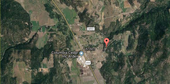
After verifying the information was being uploaded correctly to the database, I embedded a google map that would show the latest database entry as a point of interest to show my current location. Since I knew some people (parents) would stay on the page for extended periods of time just watching, I added a refresh function that would swap out the current location for a new one using javascript and update the map accordingly.
So that was pretty good and did the job, but I wanted to take it a little further. Accessing weather API’s from the Weather Underground I was able to pull information from the nearest airport (personal weather stations were a bit too unreliable) and display the information so they could get a feel for what the conditions I was driving through were like. While not always accurate, it did give them a general idea on what I was dealing with on the road.
So now I was just playing around, and I was curious if I could show them what traffic was like? Before Google added traffic to their maps, I needed a way to show people how the driving was going… why was I only moving a mile an hour in specific locations and things like that. So I decided to scrape the traffic camera’s from the different states I frequently took road trips in and show the latest images next to the map. This was easy in the states that supplied GPS coordinates for traffic cameras, but not all states did that. So I had to lookup and best guess the camera location in some instances. This was time consuming, but it really turned out to be a pretty cool feature.
So that was my trip tracker. I’ve made some minor adjustments over the years (primarily updating the phone system for Android once my Pocket PC was dead), building it out as a wordpress plugin instead of a page and minor API updates as they’ve rolled out. Just typing this up makes me want to go in a rebuild the system using modern frameworks and things I’ve learned in the years since.